

P'tit Train du Nord cycling guide (2026) · Reserver.ca
Everything you need to ride Le P'tit Train du Nord in 2026: official map (PDF), distances, parking, plus our pick of chalets within 5 km of the trail.
 Patrick Béland7 min read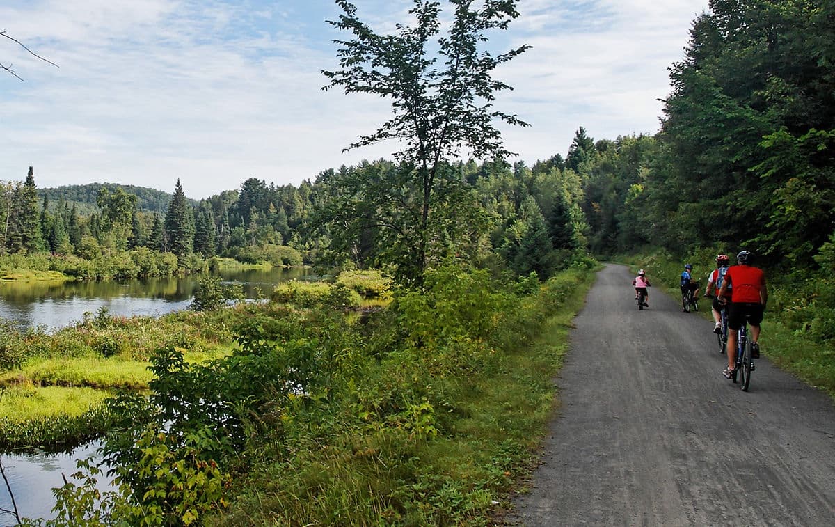
Le P'tit Train du Nord is a 234 km cycling rail-trail in Quebec's Laurentians, running from Saint-Jérôme to Mont-Laurier on a former CP Rail right-of-way. The official PDF map is published seasonally by Tourisme Laurentides. Reserver.ca manages 30+ chalets within 5 km of the trail, mostly in Mont-Tremblant, Saint-Sauveur and Lac-Supérieur.
Version française · The trail is also written Petit Train du Nord or Le P'tit Train du Nord — we use the linear park's official spelling throughout this guide.
P'tit Train du Nord map and distances between stations
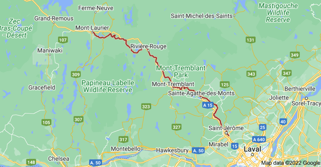
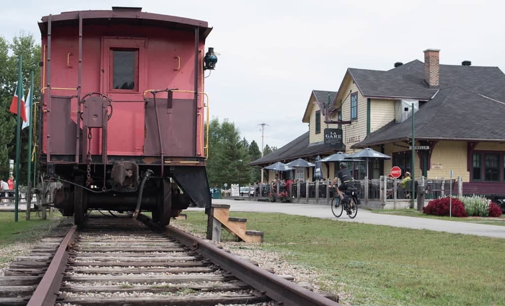
The official map is updated seasonally by Tourisme Laurentides in partnership with the linear-park operator. It shows all 234 km of trail, the 22 historic stations (Saint-Jérôme, Sainte-Adèle, Val-David, Mont-Tremblant and Mont-Laurier among them), water stops, emergency services and partner businesses.
For a typical cycling weekend the Saint-Sauveur → Mont-Tremblant stretch (≈ 65 km, mild elevation) is the most popular and best served for accommodation. Stronger riders chain Mont-Tremblant → Labelle → Mont-Laurier (≈ 105 km, quieter, deep-forest scenery).
Distances and average ride times (road bike)
- Saint-Jérôme → Saint-Sauveur: 24 km, ≈ 1 h 10
- Saint-Sauveur → Sainte-Agathe-des-Monts: 25 km, ≈ 1 h 15
- Sainte-Agathe → Mont-Tremblant: 23 km, ≈ 1 h 05
- Mont-Tremblant → Labelle: 21 km, ≈ 1 h
- Labelle → Mont-Laurier: 84 km, ≈ 4 h 30 (most riders split it across two days)
Total: 234 km from Saint-Jérôme to Mont-Laurier. The surface is compacted stone dust on most of the route, which is fine on a hybrid, gravel or road bike with 32 mm tyres or wider.
Access and parking
The linear park is free for walkers, but cyclists pay a small daily contribution (a few dollars) collected by the linear park to fund maintenance. Official parking lots: Saint-Jérôme (Place de la Gare), Prévost, Saint-Sauveur, Val-David, Sainte-Agathe-des-Monts, Mont-Tremblant (village sector), Labelle, and Mont-Laurier.
Chalets near the trail — Reserver.ca picks
Our team manages 30+ vetted chalets within 5 km of the trail, in the Mont-Tremblant, Saint-Sauveur, Lac-Supérieur, Val-David and Sainte-Agathe-des-Monts sectors. Most provide a secure bike shed, outdoor water taps and a basic repair station (pump, multi-tool). Pair your ride with our Laurentians beaches guide for a full summer getaway.
Browse the selection: chalets in the Laurentians.
Five tips before you go
- Book early. Mid-June to mid-October is peak season; trailside chalets often fill 6–8 weeks ahead.
- Download the map offline. Cell coverage is patchy between Labelle and Mont-Laurier.
- Stay hydrated. Free water stops at major stations, spaced 20–30 km apart on average.
- Stay right, pass left. The trail is shared with walkers and hikers; ring your bell on approach.
- Check the weather — afternoon thunderstorms are common in the High Laurentians in July and August.
Frequently asked questions
How long is Le P'tit Train du Nord exactly?
234 km, Saint-Jérôme to Mont-Laurier, on a former Canadian Pacific right-of-way. It is the longest linear park in Canada.
Do I need a pass to ride the trail?
Cyclists pay a daily (a few dollars) or seasonal contribution. Pedestrians and skaters are exempt. Up-to-date pricing is on the linear park's official site.
Can I rent a bike on site?
Yes — multiple shops operate in Saint-Sauveur, Mont-Tremblant and Mont-Laurier (hybrid, e-bikes and road bikes). Reserve ahead in peak season.
Is Le P'tit Train du Nord open in winter?
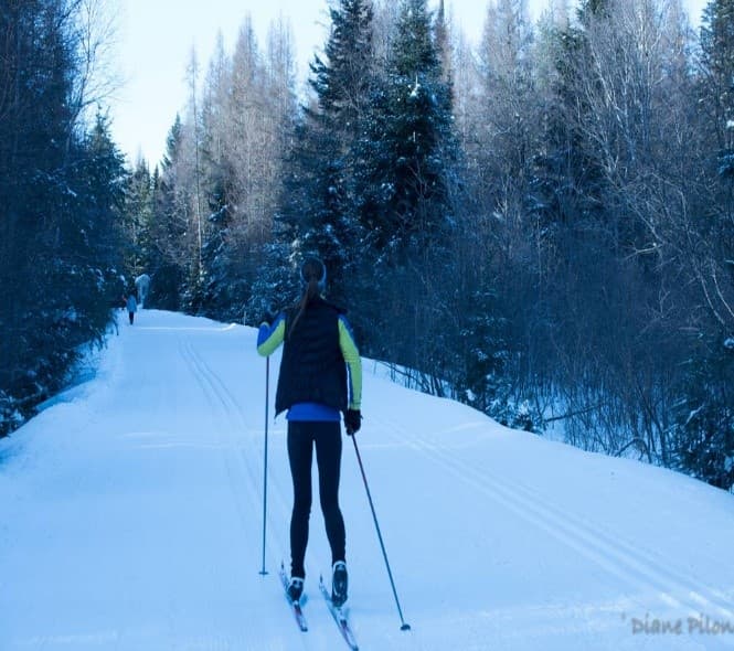
Several sections are groomed for cross-country skiing and snowmobiling (separate access fees and rules). The cycling trail itself is closed from late November to early May.
Where can I find the P'tit Train du Nord map and distances?
The official PDF map is published seasonally by Tourisme Laurentides. It shows all 234 km of trail, the 22 historic stations and distances between stops. This guide lists the most popular segments in the map and distances section above.

Author
Patrick Béland
VP, Technology & Marketing
Co-founder of Reserver.ca. Patrick leads the platform, marketing and editorial strategy behind the blog. He writes tourism and owner guides based on what the team applies daily across 90+ managed chalets in Quebec.
Read next
Tourism
Fall getaways in Mont-Tremblant: 6 must-do activities (2026) · Reserver.ca
Fall foliage, hiking, gondola rides, Tonga Lumina and Laurentian villages — plan a Mont-Tremblant autumn trip with CITQ-registered chalets.
Tourism
Best spas in the Laurentians (2026): nordic baths & hot tubs · Reserver.ca
Where to soak in the Laurentians in 2026: Scandinave Mont-Tremblant, Polar Bear's Club, Ofuro and more — plus chalets with a private hot tub.
Tourism
15 Laurentians beaches — public, free & paid spots near Montreal (2026) · Reserver.ca
Where to swim in the Laurentians near Montreal in 2026: public beaches, Lac Tremblant, Sainte-Agathe, Oka and more — plus vetted chalets with lake or beach access.